


13,1 km | 27 km-effort

Gebruiker


Gratisgps-wandelapplicatie
 SityTrail
IGN / Geografische instituten
SityTrail World
De wereld gaat voor u open
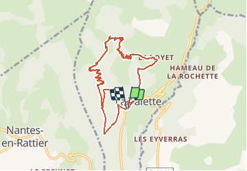
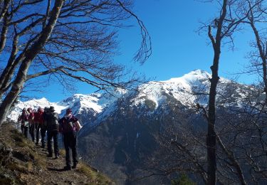
Tocht Stappen van 10,1 km beschikbaar op Auvergne-Rhône-Alpes, Isère, La Valette. Deze tocht wordt voorgesteld door cmarit.
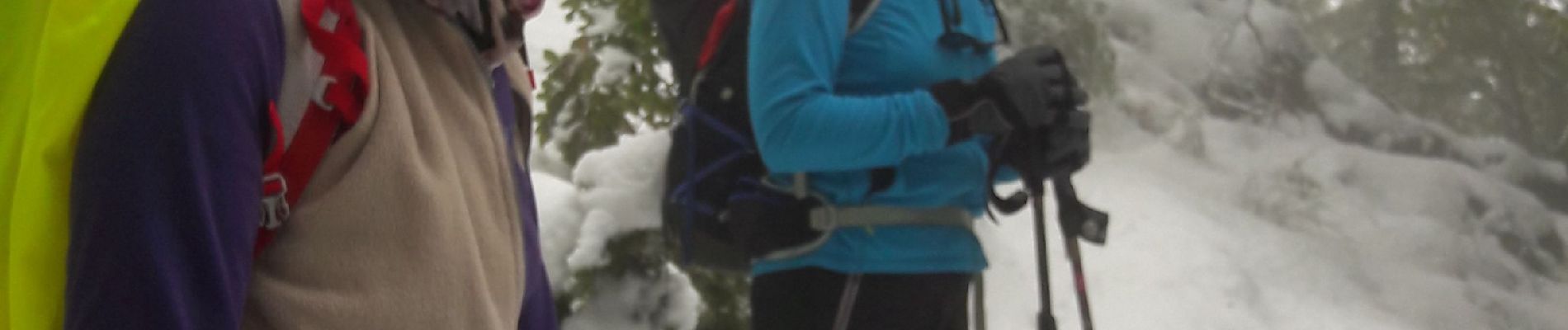
Belle randonnée hivernale en ce 27 sept!
30cm de neige à la cabane (1614m)
On est 5 et on est bien, quoique un peu humide!
Heureusement Christian nous a fait du feu dans la cabane pour notre pique-nique...chaud!
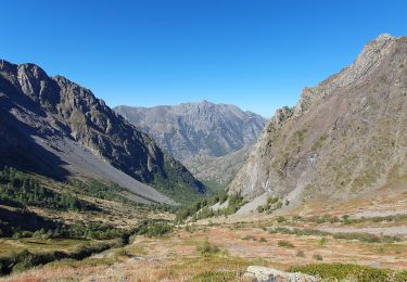
Jolie boucle , faisable en raquettes car toute en Forêt.
(J'ai tracé la fin du parcours a posteriori, car ma batterie était trop faible.
Quand on a quitté la route en se rapprochant de la Valette, nous avons emprunté un sentier non balisé mais très bien tracé (forestiers) et très agréable car sans cailloux avec un tapis d'aiguilles de résineux;
Le temps donné ne tient pas compte de la fin du parcours ( 1h?)


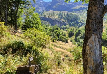
Stappen

Stappen
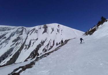
Ski randonnée
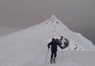
Ski randonnée
Stappen
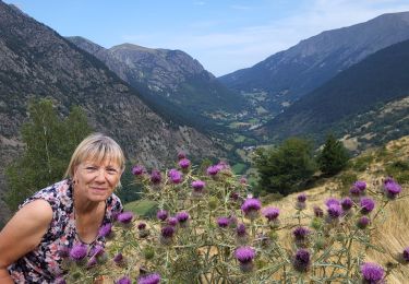
Stappen
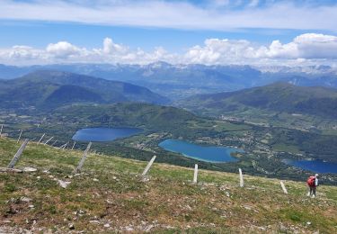
Stappen
Stappen

Stappen